
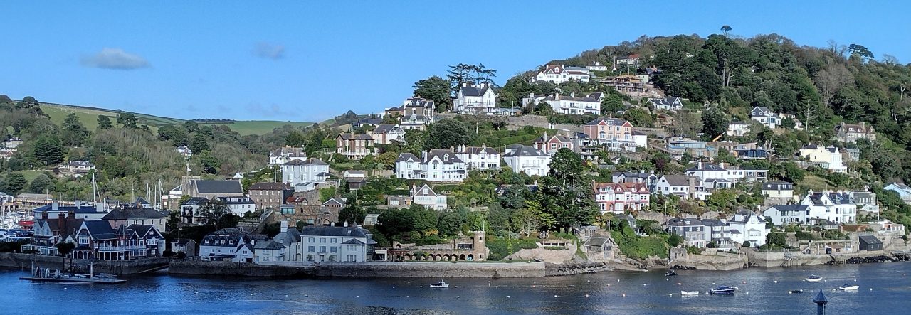
(Three-hundred and Forty Years of Admiralty Hydrographic Surveys)
How did our forebears find out where they were at sea, and how deep the water was, sufficiently accurately to create a navigational chart? Continue reading BELOW.
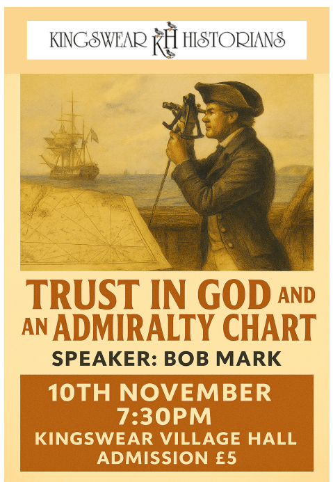
Continued
Bob’s illustrated presentation on 10 November will look at the challenge of collecting hydrographic survey information. From the pioneering 17th century work of Charles II’s Hydrographer-in-Ordinary, Captain Greenvill Collins with lead-line, back-staff, and compass. The astonishing achievements in 1775 of Captain James Cook in HMS Resolution around South Georgia in the Southern Ocean, using nothing more than lead-line, sextant, and chronometer. Through to the Great Survey of Africa by Captain William Owen between 1822-25, of which it was said ‘the charts could have been drawn in blood so many men died completing them’.
Bob will talk about the work of the Navy’s Hydrographic Squadron in the Crimean War, and the WW1 Dardanelles Campaign, through to ‘Cold War’ surveys. He will bring the audience up to date, by showing a sample of the breath-taking multi-beam echo-sounder images of the 2005 Indian Ocean Earthquake zone collected by HMS SCOTT.
Bob Mark enjoyed a 32 year career in the Royal Navy. The first 20 or so years were spent at sea as a Hydrographic Surveyor. He has served in 9 survey ships in various parts of the World, commanding three of them, GLEANER, HERALD and SCOTT. He is still learning, and still being astonished at the pace of change. Hydrographic surveying has been revolutionised through the introduction of the now ubiquitous Global Positioning System (GPS), multi-beam echo-sounders, and now, autonomous vehicles. The ease of these tools takes nothing away from his admiration of the astonishing achievements of the early hydrographers.
